Thermal Imaging
Thermal and visible-light imagery to support search, observation and inspection.
Professional UAS support for search and rescue, public safety, inspection, mapping and situations where an aerial perspective matters.
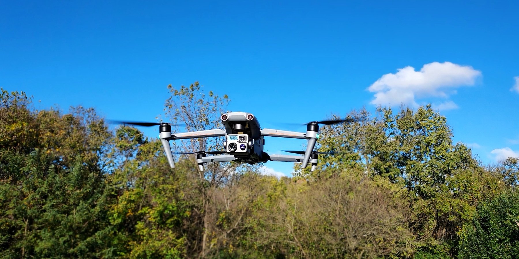
Mission-focused UAS support for search operations, situational awareness and aerial observation. Thermal and visible-light imaging can give responders another perspective from above.
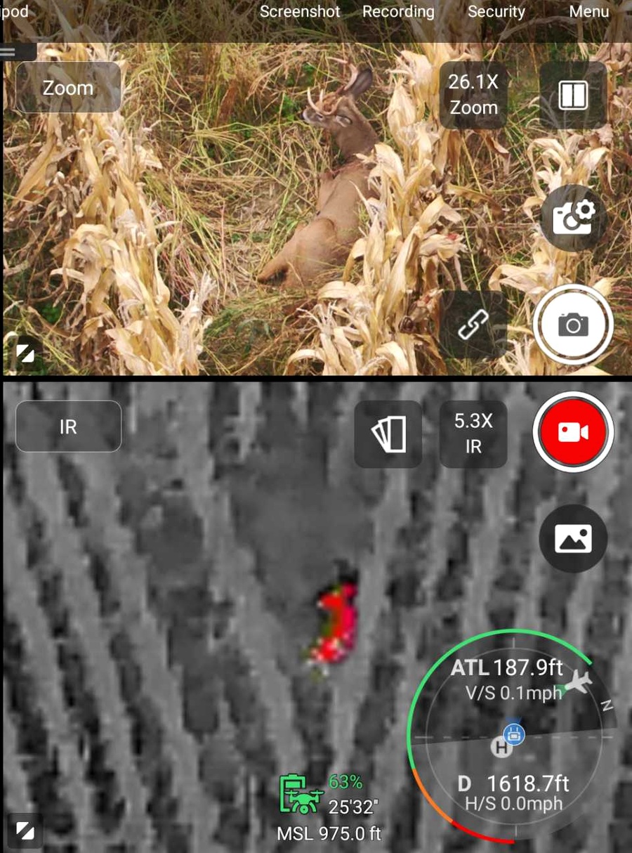
Professional UAS equipment and a practical, data-focused approach to collecting useful information.
Thermal and visible-light imagery to support search, observation and inspection.
Visual documentation of structures, infrastructure and hard-to-access areas.
Photogrammetry, orthomosaics and 3D models for documentation and analysis.
Low-light and thermal capability for missions that continue after dark.
Real-time aerial observation to help teams better understand ground conditions.
Custom aerial support where a drone can provide useful perspective or data.
Have a specific mission or project in mind? Contact us to discuss requirements and availability.
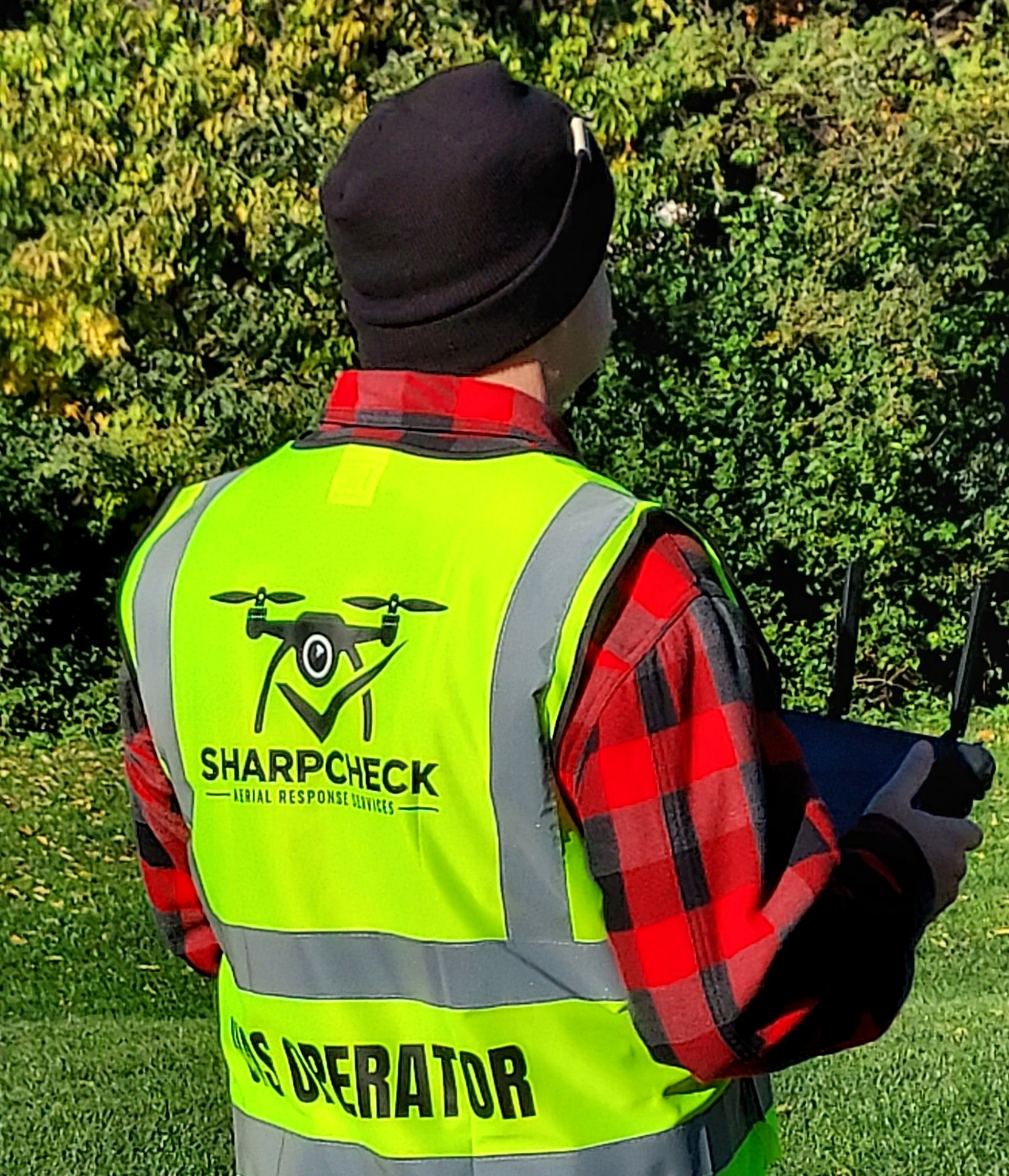
SharpCheck focuses on collecting relevant imagery and observations that help teams assess a situation and make informed decisions.
Discuss a Mission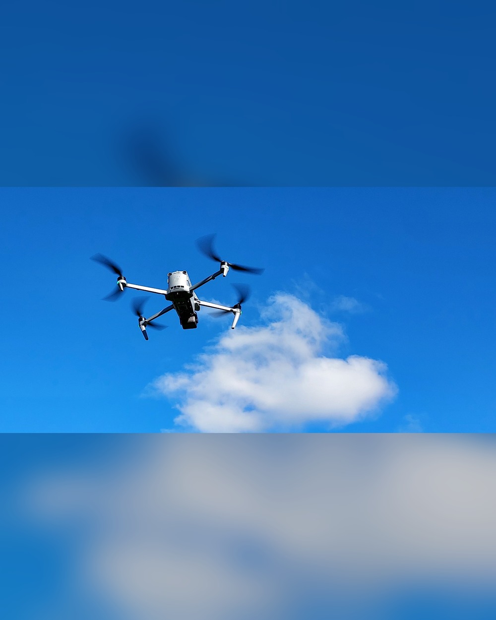
SharpCheck is a veteran-owned aerial response services business founded by a retired U.S. Navy helicopter pilot with combat search-and-rescue experience.
We bring a mission-focused approach to professional UAS operations, combining aviation experience with thermal and visible-light imaging to deliver practical, actionable information.
Whether you need aerial response, inspection, thermal imaging or mapping, tell us what you're working on and we'll determine whether SharpCheck can help.